-
Model:
ADMT-200S-Y, ADMT-300S-Y
-
Features:
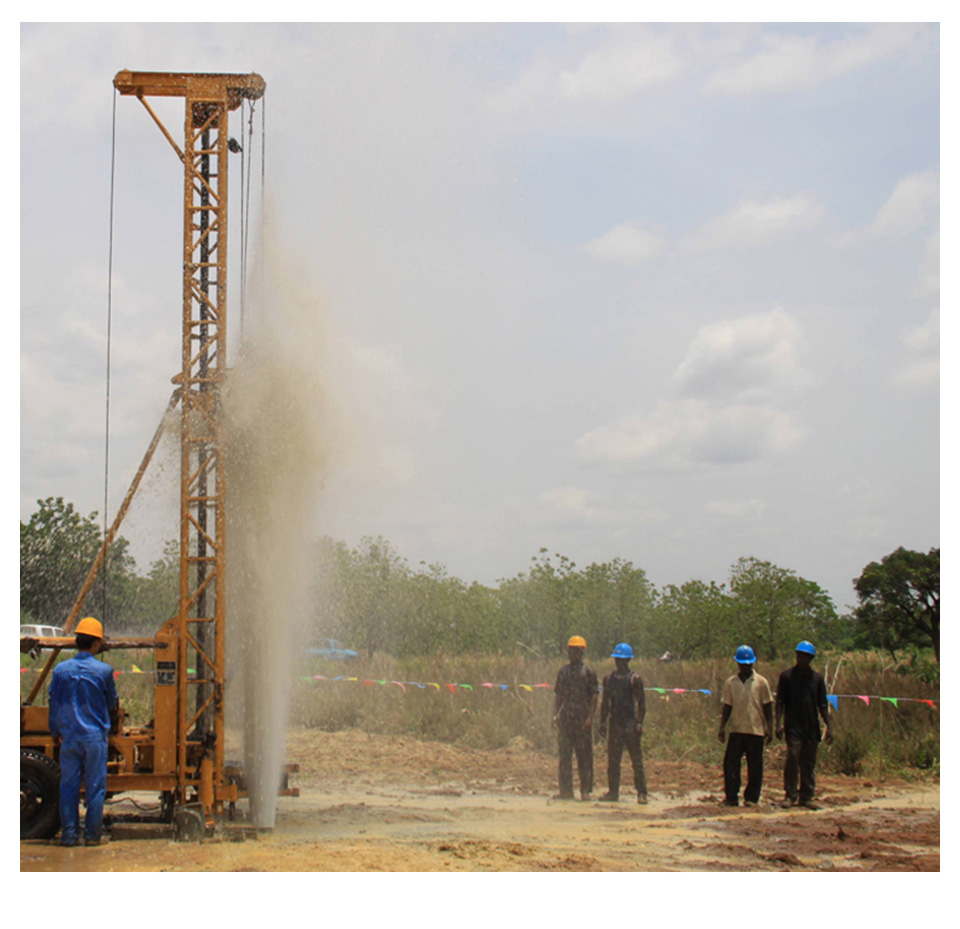
The ADMT 200S-Y and ADMT 300S-Y single-channel ground water detectors, developed by AIDU, provide stable performance, intelligent precision, and on-site mapping, making the location and depth of underground water clearly identifiable.
The ADMT-200S-Y and ADMT-300S-Y single-channel ground water detectors are designed based on the magnetotelluric method, with simplified core functions. The instruments can measure the values of electric and electromagnetic fields. After processing the data through denoising, smoothing, source correction, and model inversion, users can generate 2D and 3D geological images on-site during surveys.
The device is developed based on the Android operating system and can utilize functions such as GPS, storage, camera, instant messaging, and cloud backup from the mobile phone. The system integrates global geological data and big data analytics to automatically analyze the collected geological information, thereby accurately determining the location, depth, and yield of underground water.
Budget Smart Groundwater Detector
R&D Since 1973

6-Month Trade-Up Guarantee
The 200-300 meter single-channel ground water detector is an IoT smart water-finding device jointly developed by AIDU and the Guilin Technology Hydrogeological Investigation Institute. Based on 50 years of R&D and application experience, AIDU has enabled data processing that traditionally required specialized equipment to be performed on mobile devices (or tablets). This advancement allows for automatic mapping, cloud storage, and communication with an online team of experts. Additionally, the device can use a probe for measurements, eliminating the need to arrange electrode arrays for data collection.


Fast Imaging

Smart & Accurate

Selective Depths

Simple & Efficient
Product design, packaging, or accessories are subject to change due to ongoing improvements. For the most up-to-date information, please contact our service team.
Applications
AIDU Mobile Ground Water Detector is used to determine the location, depth, and potential yield of groundwater, providing valuable guidance for well drilling operations and ultimately increasing the success rate of getting water. It can also be applied in detailed and general hydrogeological surveys
FIVE ADVANTAGES TO HELP YOU EXPLORE WORRY-FREE
Fast Imaging
 The bright display with 7-inch touch screen is visible in sunlight, allowing for quick data and graphical presentation at the push of a button
Adjustable Depth
 Within the maximum depth range, multiple depth options are provided for users to choose from
Multi-Device Data Sharing
 Data from the backend can be shared across smartphones, main devices, and PCs by logging into the same account, with the option to share data among multiple accounts
Precise and Stable
 With 50 years of iterative upgrades, the system offers stable performance and high consistency in repeated measurements
Lifetime Technical Support
 Comprehensive after-sales services, including data processing analysis, equipment maintenance, and online technical guidance, are provided as lifetime technical support
TECHNICAL PARAMETERS
| Versions | ADMT-200S-Y | ADMT-300S-Y |
|---|---|---|
| Max Depth (m) | ≤200 | ≤300 |
| Channel Num | Single | |
| Meas. Mode | MN/TT | |
| Scan Interval | 5 M | |
| Freq. Range (hz) | 1-8000 HZ | |
| Discrim. | 0.1mV±5% | |
| Acq. Time (s) | 130 | |
| Connection | bluetooth | |
| Display | 7 "IPS high brightness touch screen | |
| Core Features | Curve imaging, Data output to phone for 2D/3D imaging,AI insight for image interpretation,Detachable battery | |
| Battery Power | 4W | |
| Main Device Weight | 1.3 KG | |
Trusted by Millions, CCTV Recommended

SERVING THE WORLD

PROFESSIONAL SERVICE TEAM

QUALIFICATION CERTIFICATE
Certificates and Awards: CE, ISO, China National High-tech Enterprise, China National Technical Invention Patent

R&D Since 1973
1973: Developed the domestic short-wire D75 electrical method
1977: Developed an aerial proton
magnetometer
1981: Developed domestic resistivity DW83 electrical method
1988: Developed a
multi-functional high-power electric method
2001: Developed the NEP series of natural electric field
geophysical probes
2005: Completed the "High-Density Electrical Method" project commissioned
by the Institute of Geology and Geophysics, Chinese Academy of Sciences
2011: Completed the
"Controllable Source Geodetic Electromagnetic Instrument (CSAMT)" project commissioned by the
Institute of Geology and Geophysics, Chinese Academy of Sciences
2013: Received the support of the
Innovation Fund of the Ministry of Science and Technology, and passed the Shanghai High-tech Achievement
Transformation Certification
2017: Developed mobile phone water-finding instrument and geophysical
instrument, supporting two-dimensional and three-dimensional automatic mapping of Android system
2018:
Independent research and development of 16-channel series products to solve the problem of natural electric
field source changes, simple, efficient and precise
2021: Water-finding instrument, geophysical
prospecting instrument, aerial geophysical prospecting, earthquake advanced prediction system, etc. will be
developed for cloud platform big data automatic analysis function
2022: The company was renamed
Shanghai Aidu Intelligent Detection Technology Co. Ltd, and expanded its business operations
2023:
Launched AI automatic analysis functionality, ushering geological exploration into a new era of
intelligence. Introduced speedy water exploration instruments, magnetotelluric instruments, and
high-precision three-component magnetometers
2024: Released an online monitoring system supporting ERT,
bipole electrical, magnetic, and other geophysical data acquisition, with integrated data fusion and
processing capabilities for geological hazard monitoring and prevention
2025: Released UAV magnetic
survey and unmanned boat electrical survey systems with automated acquisition, rapid imaging, cloud-based
inversion processing capabilities


Two-year
Warranty

Lifetime
After-sales

Expert
Support

Free
Upgrade