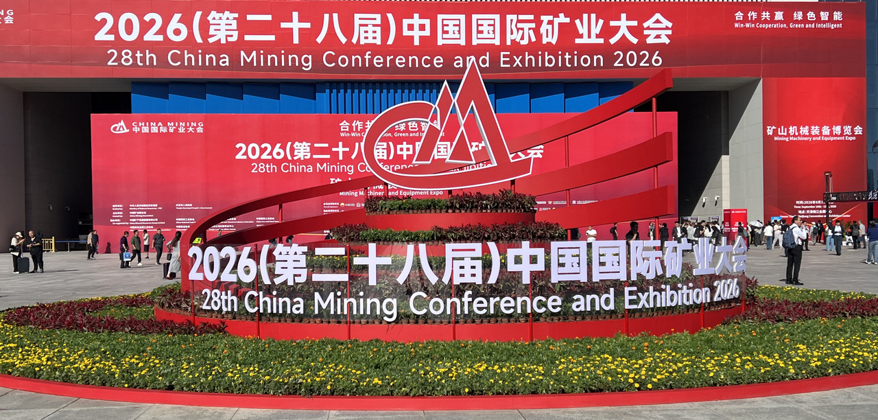
On September 12, China Mining 2026 concluded in Tianjin after three days of exhibitions, technical discussions, and industry exchange.
The event brought together representatives from 60 countries and international organizations, along with 31,000 mining professionals. For AIDU, these three days were not only an opportunity to present our latest instruments, but also a chance to meet geologists, mining companies, drilling teams, and industry partners face to face.
This year, we brought more than ERT/IP, MT/AMT, ground magnetics, and UAV aeromagnetic systems to Tianjin.
More importantly, we wanted to show a workflow that is increasingly being integrated across AIDU's geophysical systems: from data acquisition to automatic processing, automatic inversion and imaging, and AI-assisted interpretation, with more of the entire process completed directly in the field.
AI Is Becoming Part of the Geophysical Workflow
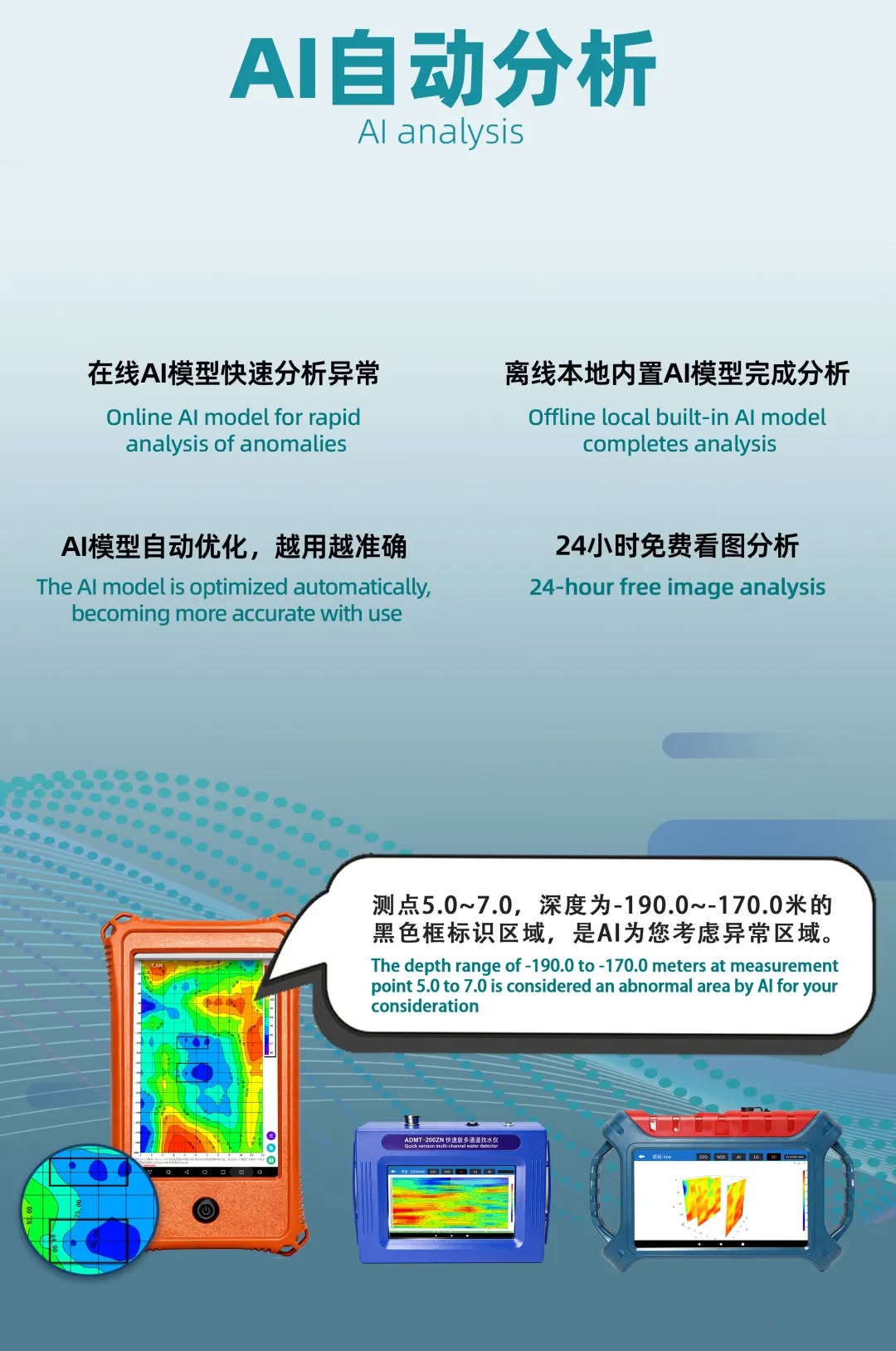
AIDU began integrating AI analysis into geophysical data processing in 2021. After several years of continuous development, the technology now supports both cloud-based online AI analysis and offline local AI analysis.
In practical applications, the system can analyze processed 2D and 3D geophysical images, identify and mark areas of interest, and provide additional information for further interpretation by geologists and field professionals.
We are also continuing to optimize the models based on different geological environments, application scenarios, and real-world data accumulated by users.
AI does not replace geological experience.
What it can do is take on part of the repetitive work involved in reviewing data and images, help field teams identify anomalies more quickly, and allow professionals to spend more time on the geological questions that require human judgment.
That, in our view, is where AI can bring real value to geophysical exploration.
Different Methods, One Direction
The systems presented at China Mining 2026 covered a broad range of geophysical methods.
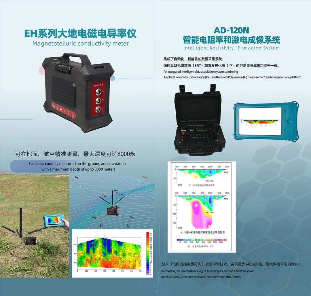
ERT/IP provides resistivity and induced polarization imaging. MT/AMT supports investigation of deeper subsurface structures. Ground proton magnetometers are used for magnetic anomaly surveys, while UAV magnetometer systems can significantly improve the efficiency of magnetic mapping over large areas.
Different methods serve different geological conditions and exploration objectives.
But across these systems, we are applying more and more of the same design philosophy:
Lighter field setups
Simpler workflows
Faster data acquisition
Automatic data processing and inversion
On-site 2D and 3D imaging
AI-assisted interpretation
Geophysics itself does not become simple just because instruments become smarter. Subsurface geology remains complex, and no single method can solve every exploration problem.
What we want to change is something different: to reduce the unnecessary burden that instruments, field setups, and data processing place on the people doing the actual exploration work.
From the Ground to the Air
UAV magnetics was another area that attracted considerable attention at this year's exhibition.
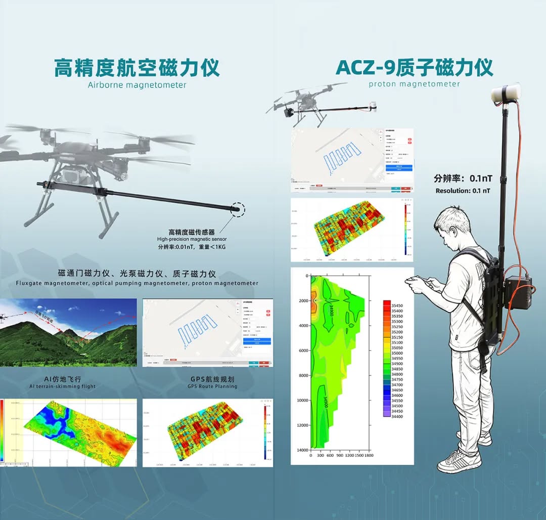
By integrating high-precision magnetic sensors with UAV platforms, large-area magnetic data can be collected much more efficiently, making UAV aeromagnetic surveys particularly useful for regional reconnaissance and anomaly screening during the early stages of mineral exploration.
The purpose is not to replace ground magnetic surveys.
Instead, surveys at different scales and from different platforms can complement one another. Larger areas can be screened efficiently first, allowing field teams to focus manpower and more detailed investigation on the locations that deserve closer attention.
From ground electrical methods, MT/AMT, and magnetic surveys to UAV aeromagnetics, AIDU continues to expand the environments and scales in which geophysical instruments can operate.
The Exhibition Ends, but the Conversation Continues
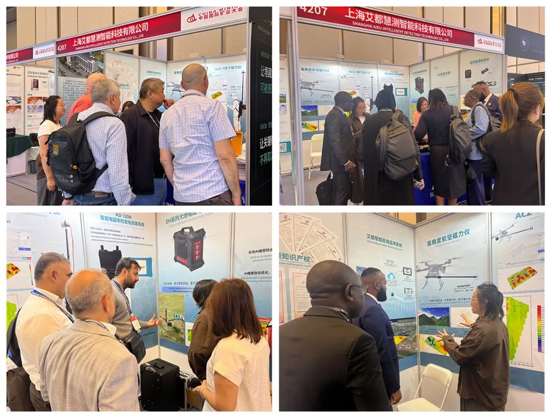
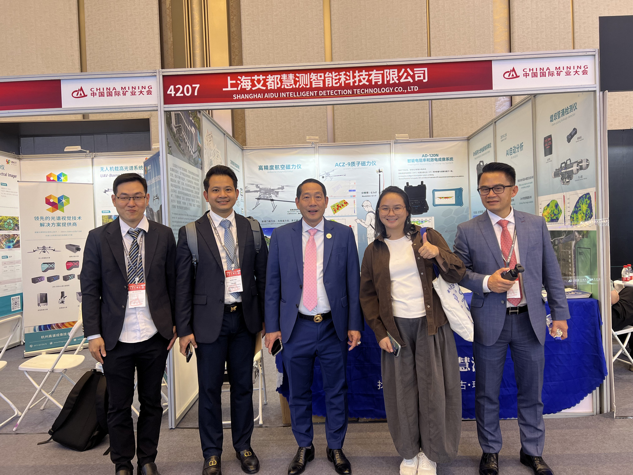
During the three days in Tianjin, we met geologists, drilling teams, mining companies, and partners from different countries and regions.
The questions we discussed were very practical:
How do we investigate deeper targets?
How can surveys be carried out more efficiently in mountainous or difficult terrain?
How can field productivity be improved?
Can data be processed and visualized faster?
And where can AI genuinely help geophysical professionals?
These are also the questions that will continue to influence the next generation of AIDU products.
China Mining 2026 may be over, but geophysical technology continues to move forward.
AIDU will continue improving our instruments, software, and intelligent workflows. We want to make data acquisition simpler, processing and imaging faster, and AI a genuinely useful tool for geologists and exploration teams.
Our goal is not to use technology to replace people. It is to use better technology to remove unnecessary complexity, so geoscientists can spend more of their time and attention on what really matters underground.
We look forward to exploring further, together.
Let exploration be freer.